Are parking lots cooking our cities? Can virtual nature relieve stress like the real thing? How can we visually explore vast amounts of urban sustainability data?
These real-world questions motivated Department of Computer Science undergraduate research projects and earned awards at the annual Celebrate Undergraduate Research and Creativity showcase (CURC).
Excellence in Data Science: Second Place
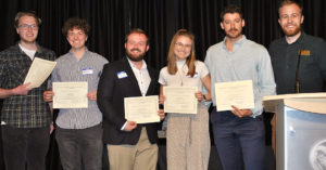 Title: “GPU-accelerated Visualization of Urban Sustainability Datasets”
Members: Tyson O’Leary, Federico Larrieu, Abigail Williams, Nathan Orwick and David Riva
Faculty advisor: Shrideep Pallickara
Urban sustainability researchers deal with huge volumes of data – spatiotemporal data, public datasets, and data on climate, ecology, health, census and more. All this data offers unprecedented opportunities for discovery and innovation, but exploring it is challenging. These students’ project demonstrates a graphics processing unit (GPU)-accelerated visualization tool – Aperture – that provides fast, accurate, holistic exploration of urban sustainability datasets.
“Anyone can access this tool and use the information,” said team member Federico Larrieu. “Even your grandma can pull up and look at this data.”
View the project abstract and video
College Honors – Research
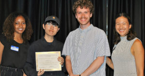
 Title: “Realism in Virtual Reality Nature Immersion”
Student: Rachel Masters
Faculty advisors: Francisco Ortega, Victoria Interrante (University of Minnesota)
Forest bathing, sensory immersion in a nature environment, can reduce stress and restore mental resources, but many people in cities, nursing homes, and hospitals do not have access to nature. One solution is virtual reality immersive nature simulations. Rachel Masters’ project researches the components necessary to create effective virtual nature environments.
“When people can’t access nature, this technology can reduce stress and fight burnout before it happens,” said Masters.
View the project abstract and video
Innovation in Energy and Climate Solutions: Second Place
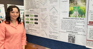
 Title: “Are Parking Lots Cooking Fort Collins? Correlation Analysis of Parking Lots and Heat Island Effects using Satellite Imagery and Open Street Maps”
Members: Junhwan Kim, Hermela Darebo and Jackson Holden
Faculty advisor: Sangmi Pallickara
The Urban Heat Island (UHI) effect is a critical environmental issue where cities experience higher temperatures than their surrounding rural areas because they absorb and retain more heat. What is the correlation between urban structures and the UHI effect? This project investigates that question by using OpenStreetMap to map hot spots (heat islands) in Fort Collins, CO based on the type of material (water, grass, pavement, buildings, etc.) rather than temperature measurements and comparing the maps to LandSat satellite data to determine their accuracy.
“This work can help us design more energy-efficient cities that reduce the radiant temperature of the environment,” said team member Jackson Holden.
View the project abstract and video
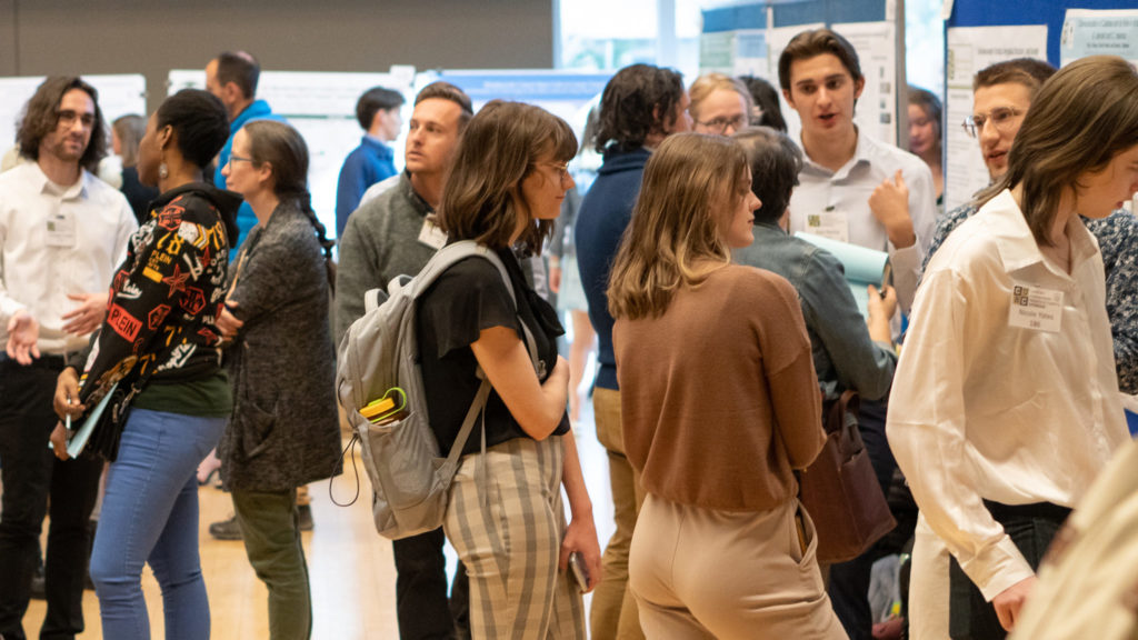
The CURC showcase highlights the creative and scholarly work of undergraduate students across various disciplines, and this year’s event featured over 250 presentations.
CURC is hosted by the CSU Office for Undergraduate Research and Artistry, and sponsors include CSU’s Energy Institute, Graduate School, Data Science Research Institute, College of Liberal Arts and Colorado School of Public Health.